|
search place name
|
||
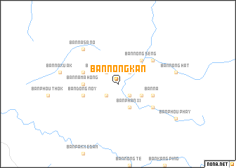
Ban Nongkan (Laos)Ban Nongkan is a town in Laos. An overview map of the region around Ban Nongkan is displayed below.
regional and 3d topo map of Ban Nongkan, Laos ::
Ban Nongkan airports ::
The nearest airport is PKZ - Pakse, located 96.1 km south of Ban Nongkan.
Other airports nearby include ZVK - Savannakhet (124.0 km north west), SNO - Sakon Nakhon (220.0 km north west), Nearby towns ::
Ban Nahouakhoay (2.6km north east) //
Ban Kout-Hi (2.6km south east) //
Ban Nongsaphang (2.6km north west) //
Ban Donkôk-Hat (2.6km south west) //
Ban Kèngkèp (2.6km south west) //
Ban Nônchan (2.6km south west) //
Ban Phanxi (4.1km south east) //
Ban Houaymun (4.0km south east) //
Ban Nongsèng (5.1km north east) //
Ban Na Mahong (5.3km west) //
Ban Kèngping (5.7km west) //
Ban Naphô (5.7km west) //
Ban Na (5.7km east) //
Ban Dông Noy (5.7km west) //
Ban Mai-Xépong (6.5km north east) //
Ban Bouttaphan (6.5km south east) //
Ban Nasanô (7.7km north west) //
[all distances 'as the bird flies' and approximate] 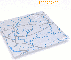 Places with similar names to Ban Nongkan, Laos ::
// Ban Angkon (TH)
// Ban Na Nok Kok Nua (TH)
// Ban Nong Kan (TH)
// Ban Nong Kan (TH)
// Ban Angkouan (LA)
// Ban Nongkeun (LA)
// Ban Nongkin (LA)
// Ban Nongkin Noy (LA)
// Ban Nong-O-Gnai (LA)
Disclaimer :: Information on this page comes without warranty of any kind |
||
|
Where is Ban Nongkan? Elevation and coordinates ::
Latitude (lat): 16°0'0"N Longitude (lon): 105°46'0"E
Elevation (approx.): 200m (map arrows pan, magnifying glasses zoom) |
||
|
Visiting Ban Nongkan? Hotel/Accommodation ::
Book a hotel in Ban Nongkan Travel Guide ::
Buy a travel guide for Laos rental cars ::
car rental offers GPS waypoint ::
download a GPX waypoint (PoI) of Ban Nongkan for your GPS receiver
|
||