|
search place name
|
||
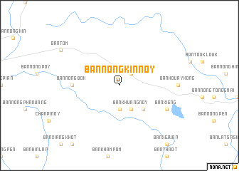
Ban Nongkin Noy (Laos)Ban Nongkin Noy is a town in Laos. An overview map of the region around Ban Nongkin Noy is displayed below.
regional and 3d topo map of Ban Nongkin Noy, Laos ::
Ban Nongkin Noy airports ::
The nearest airport is PKZ - Pakse, located 71.9 km west of Ban Nongkin Noy.
Other airports nearby include DAD - Danang Intl (213.0 km north east), ZVK - Savannakhet (240.0 km north west), Nearby towns ::
Ban Makchan (2.6km north east) //
Ban Khuang Gnai (3.7km south) //
Ban Khuang Noy (4.1km south east) //
Ban Xiang (5.2km south east) //
Ban Nongbôk (7.2km west) //
Ban Namtang (8.1km south east) //
Ban Xieng (8.1km south east) //
[all distances 'as the bird flies' and approximate] 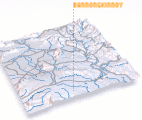 Places with similar names to Ban Nongkin Noy, Laos ::
// Ban Angkon (TH)
// Ban Na Nok Kok Nua (TH)
// Ban Nong Kan (TH)
// Ban Nong Kan (TH)
// Ban Angkouan (LA)
// Ban Nongkan (LA)
// Ban Nongkeun (LA)
// Ban Nongkin (LA)
// Ban Nong-O-Gnai (LA)
Disclaimer :: Information on this page comes without warranty of any kind |
||
|
Where is Ban Nongkin Noy? Elevation and coordinates ::
Latitude (lat): 15°8'0"N Longitude (lon): 106°27'0"E
Elevation (approx.): 1015m (map arrows pan, magnifying glasses zoom) |
||
|
Visiting Ban Nongkin Noy? Hotel/Accommodation ::
Book a hotel in Ban Nongkin Noy Travel Guide ::
Buy a travel guide for Laos rental cars ::
car rental offers GPS waypoint ::
download a GPX waypoint (PoI) of Ban Nongkin Noy for your GPS receiver
|
||