|
search place name
|
||
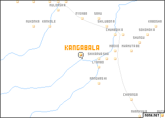
Kangabala (Central, Zambia)Kangabala is a town in the Central region of Zambia. An overview map of the region around Kangabala is displayed below.
regional and 3d topo map of Kangabala, Zambia ::
Kangabala airports ::
The nearest airport is LUN - Lusaka Intl, located 123.6 km south east of Kangabala.
Other airports nearby include KIW - Southdowns (208.8 km north), NLA - Ndola (224.0 km north east), KAB - Kariba Intl (250.6 km south east), Nearby towns ::
Shikapwasha (3.6km east) //
Lyambo (4.0km south east) //
Chifundo (5.4km east) //
Mangwashi (6.6km south east) //
Mukwashi (7.2km east) //
Mbeko (7.4km east) //
Chishinga (7.4km east) //
Shilubona (9.2km north east) //
Chumbaika (9.1km north east) //
Kankole (10.3km north west) //
[all distances 'as the bird flies' and approximate] 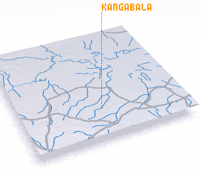 Places with similar names to Kangabala, Zambia ::
// Concabella (ES)
// Kinkubala (CD)
// Cancábal (GT)
// Cancábal (GT)
// Kancabal (MX)
// Guangabal (PE)
// Koingbélo (GN)
// Kankböle (FI)
// Quenquibol (PH)
// Gongabli (LR)
Disclaimer :: Information on this page comes without warranty of any kind |
||
|
Where is Kangabala? Elevation and coordinates ::
Latitude (lat): 14°41'0"S Longitude (lon): 27°31'0"E
Elevation (approx.): 1155m (map arrows pan, magnifying glasses zoom) |
||
|
Visiting Kangabala? Hotel/Accommodation ::
Book a hotel in Kangabala Travel Guide ::
Buy a travel guide for Zambia rental cars ::
car rental offers GPS waypoint ::
download a GPX waypoint (PoI) of Kangabala for your GPS receiver
|
||