|
search place name
|
||
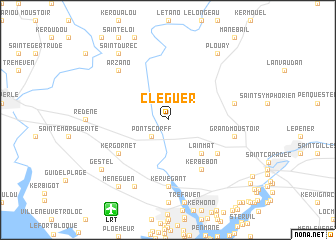
Cléguer (Bretagne, France)Cléguer is a town in the Bretagne region of France. An overview map of the region around Cléguer is displayed below.
regional and 3d topo map of Cléguer, France ::
Cléguer airports ::
The nearest airport is LRT - Lorient Lann Bihoue, located 10.8 km south west of Cléguer.
Other airports nearby include VNE - Vannes Meucon (51.8 km east), UIP - Quimper Pluguffan (60.3 km west), SBK - St.-brieuc Armor Armor (86.0 km north east), MXN - Morlaix Ploujean (89.7 km north), Nearby towns ::
Pont-Scorff (2.2km south west) //
Lainmat (4.5km south east) //
Caudan (5.3km south east) //
Kergornet (5.3km south west) //
Kerbébon (6.1km south east) //
Kervégant (7.4km south) //
Grand Moustoir (5.3km east) //
Calan (5.3km east) //
Arzano (6.7km north west) //
Quéven (7.8km south) //
Plouay (8.3km north east) //
La Villeneuve (8.3km north west) //
Méné Guen (8.3km south west) //
Saint-Durec (8.3km north west) //
Gestel (7.5km south west) //
[all distances 'as the bird flies' and approximate] 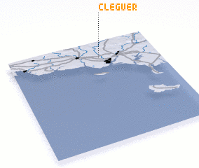 Places with similar names to Cléguer, France ::
// Kilgore (US)
// Calgro (US)
// Kelker (US)
// Kalkar (DE)
// Kalkar (DE)
// Kilgore (US)
// Kuala Kerai (MY)
// Kuala Kerau (MY)
// Kuala Kurau (MY)
// Calcara (IT)
Disclaimer :: Information on this page comes without warranty of any kind |
||
|
Where is Cléguer? Elevation and coordinates ::
Latitude (lat): 47°51'0"N Longitude (lon): 3°23'0"W
Elevation (approx.): 39m (map arrows pan, magnifying glasses zoom) |
||
|
Visiting Cléguer? Hotel/Accommodation ::
Book a hotel in Cléguer Travel Guide ::
Buy a travel guide for France rental cars ::
car rental offers GPS waypoint ::
download a GPX waypoint (PoI) of Cléguer for your GPS receiver
|
||