|
search place name
|
||
Ban Huai Pu (Mae Hong Son, Thailand)Ban Huai Pu is a town in the Mae Hong Son region of Thailand. An overview map of the region around Ban Huai Pu is displayed below.
regional and 3d topo map of Ban Huai Pu, Thailand ::

Ban Huai Pu airports ::
The nearest airport is LPT - Lampang, located 197.5 km east of Ban Huai Pu.
Other airports nearby include RGN - Yangon Intl (244.4 km south west), MOG - Mong Hsat (273.8 km north east), Nearby towns ::
Ban Huai Duea (0.6km south) //
Ban Mai (1.1km south east) //
Ban Sao Hin (1.5km south east) //
Ban Kio (2.6km south) //
Ban Mae Top (3.5km south) //
Ban Mae Song (3.5km south east) //
Hwenokkut (4.0km north west) //
Hwunhose (4.2km north) //
Ban Sala Chiang Tong Nuea (4.5km south) //
Ban Sala Tong Tai (5.0km south) //
Hwese (5.1km east) //
Ban Mae Po (5.3km east) //
Mèsè Auk (6.5km north east) //
Hweponglaung (7.2km north) //
Taungoh (7.9km north east) //
Mèsè Atet (8.9km north) //
[all distances 'as the bird flies' and approximate] 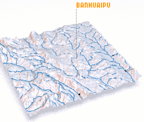 Places with similar names to Ban Huai Pu, Thailand ::
// Ban Hoep (TH)
// Ban Huai Pao (TH)
// Ban Huai Pao (TH)
// Ban Huai Pao (TH)
// Ban Huai Po (TH)
// Ban Huai Po (TH)
// Ban Huai Pu (TH)
// Ban Huai Pu (TH)
// Ban Huai Pu (TH)
// Ban Huai Pu (TH)
Disclaimer :: Information on this page comes without warranty of any kind |
||
|
Where is Ban Huai Pu? Elevation and coordinates ::
Latitude (lat): 18°33'39"N Longitude (lon): 97°39'36"E
Elevation (approx.): 480m (map arrows pan, magnifying glasses zoom) |
||
|
Visiting Ban Huai Pu? Hotel/Accommodation ::
Book a hotel in Ban Huai Pu Travel Guide ::
Buy a travel guide for Thailand rental cars ::
car rental offers GPS waypoint ::
download a GPX waypoint (PoI) of Ban Huai Pu for your GPS receiver
|
||