|
search place name
|
||
Ban Kham Pha-O (Amnat Charoen, Thailand)Ban Kham Pha-O is a town in the Amnat Charoen region of Thailand. An overview map of the region around Ban Kham Pha-O is displayed below.
regional and 3d topo map of Ban Kham Pha-O, Thailand ::

Ban Kham Pha-O airports ::
The nearest airport is ZVK - Savannakhet, located 77.4 km north of Ban Kham Pha-O.
Other airports nearby include PKZ - Pakse (136.5 km south east), SNO - Sakon Nakhon (162.8 km north west), UTH - Udon Thani (269.3 km north west), Nearby towns ::
Ban Lao Phruan (5.2km east) //
Ban Sang Nok Tha (5.5km south) //
Ban Nong Bua (5.6km south east) //
Ban Nong Hin (7.3km south west) //
Ban Dong Si-tho (8.3km south) //
Ban Phu Khao Kham (9.1km north) //
Ban Muang Po (9.1km east) //
Ban Mai (9.4km south east) //
Ban Na Tae (10.1km north west) //
[all distances 'as the bird flies' and approximate] 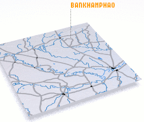 Places with similar names to Ban Kham Pha-O, Thailand ::
// Ban Kham Phai (TH)
// Ban Kham Phai (TH)
// Ban Kham Phu (TH)
// Ban Kham Phu (TH)
// Ban Khamphai (LA)
// Ban Khamphè (LA)
// Ban Khamphô (LA)
// Ban Khamva (LA)
Disclaimer :: Information on this page comes without warranty of any kind |
||
|
Where is Ban Kham Pha-O? Elevation and coordinates ::
Latitude (lat): 15°51'27"N Longitude (lon): 104°45'9"E
Elevation (approx.): 166m (map arrows pan, magnifying glasses zoom) |
||
|
Visiting Ban Kham Pha-O? Hotel/Accommodation ::
Book a hotel in Ban Kham Pha-O Travel Guide ::
Buy a travel guide for Thailand rental cars ::
car rental offers GPS waypoint ::
download a GPX waypoint (PoI) of Ban Kham Pha-O for your GPS receiver
|
||