|
search place name
|
||
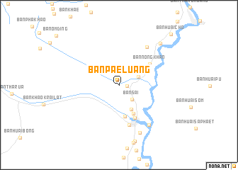
Ban Pae Luang (Chiang Mai, Thailand)Ban Pae Luang is a town in the Chiang Mai region of Thailand. An overview map of the region around Ban Pae Luang is displayed below.
regional and 3d topo map of Ban Pae Luang, Thailand ::
Ban Pae Luang airports ::
The nearest airport is LPT - Lampang, located 96.3 km east of Ban Pae Luang.
Other airports nearby include PRH - Phrae (166.6 km east), PHS - Phitsanulok (241.3 km south east), Nearby towns ::
Ban Mon Hin (1.2km east) //
Ban Sai (3.0km south east) //
Ban Na Kop (3.1km north east) //
Ban Khuang Pao (4.2km south east) //
Ban Mae Long (5.0km south) //
Ban Tha Kham Nua (5.0km south east) //
Ban Som Poi (5.7km south east) //
Ban Nong Khan (5.7km north east) //
Hot (6.5km south) //
Ban Mae Soi (2) (7.3km north east) //
Ban Sop Chaem (7.7km south east) //
Ban Kong Hin (8.2km south) //
Ban Hang Dong (9.2km south) //
Ban Huai Muang (9.0km north east) //
Ban Huai Cho (11.2km north east) //
[all distances 'as the bird flies' and approximate] 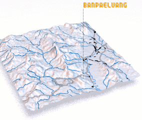 Places with similar names to Ban Pae Luang, Thailand ::
// Ban Na Plang (TH)
// Ban Plaeng (TH)
// Ban Pleng (TH)
// Ban Pling (TH)
// Ban Pling (TH)
// Buna Palang (IN)
// Ban Paléng (LA)
// Ban Paliang (LA)
// Ban Palong (LA)
// Ban Palông (LA)
Disclaimer :: Information on this page comes without warranty of any kind |
||
|
Where is Ban Pae Luang? Elevation and coordinates ::
Latitude (lat): 18°14'47"N Longitude (lon): 98°35'39"E
Elevation (approx.): 301m (map arrows pan, magnifying glasses zoom) |
||
|
Visiting Ban Pae Luang? Hotel/Accommodation ::
Book a hotel in Ban Pae Luang Travel Guide ::
Buy a travel guide for Thailand rental cars ::
car rental offers GPS waypoint ::
download a GPX waypoint (PoI) of Ban Pae Luang for your GPS receiver
|
||