|
search place name
|
||
La Algaida (Andalucía, Spain)La Algaida is a town in the Andalucía region of Spain. An overview map of the region around La Algaida is displayed below.
regional and 3d topo map of La Algaida, Spain ::

La Algaida airports ::
The nearest airport is XRY - Jerez, located 25.3 km south east of La Algaida.
Other airports nearby include OZP - Sevilla Moron Ab (69.8 km north east), SVQ - Sevilla (71.1 km north east), GIB - Gibraltar (116.4 km south east), TNG - Tanger Ibn Batouta (131.1 km south), Nearby towns ::
Bonanza (8.0km south) //
[all distances 'as the bird flies' and approximate] 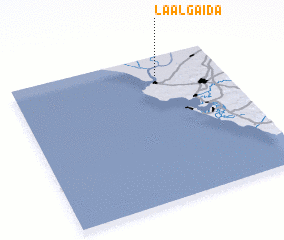 Places with similar names to La Algaida, Spain ::
// La Algoda (ES)
// Loolo Ekoto (CD)
// Lālāguda (IN)
// Lālgudi (IN)
// Lelkada (LK)
// Lellagoda (LK)
// Lolgoda (LK)
// Loolkade (LK)
// Lāleh Kotī (IR)
// Lel Gat (PK)
Disclaimer :: Information on this page comes without warranty of any kind |
||
|
Where is La Algaida? Elevation and coordinates ::
Latitude (lat): 36°52'0"N Longitude (lon): 6°18'0"W
Elevation (approx.): 8m (map arrows pan, magnifying glasses zoom) |
||
|
Visiting La Algaida? Hotel/Accommodation ::
Book a hotel in La Algaida Travel Guide ::
Buy a travel guide for Spain rental cars ::
car rental offers GPS waypoint ::
download a GPX waypoint (PoI) of La Algaida for your GPS receiver
|
||