|
search place name
|
||
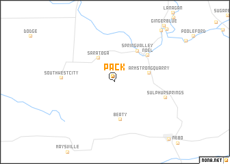
Pack (Missouri, United States - USA)Pack is a town in the Missouri region of United States - USA. An overview map of the region around Pack is displayed below.
regional and 3d topo map of Pack, United States - USA ::
Pack airports ::
The nearest airport is FYV - Fayetteville Drake Fld, located 64.5 km south east of Pack.
Other airports nearby include TUL - Tulsa Intl (126.4 km west), HRO - Harrison Boone Co (126.6 km east), FSM - Fort Smith Rgnl (130.7 km south), MLC - Mcalester Mc Alester Rgnl (212.8 km south west), Nearby towns ::
Saratoga (4.4km north west) //
Armstrong Quarry (4.7km east) //
Beaty (6.2km south) //
Spring Valley (5.8km north east) //
Noel (6.1km north east) //
Sulphur Springs (7.1km east) //
South West City (7.0km west) //
Mount Shira (10.4km north east) //
Elk Springs (11.0km north east) //
[all distances 'as the bird flies' and approximate] 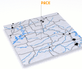 Places with similar names to Pack, United States - USA ::
Disclaimer :: Information on this page comes without warranty of any kind |
||
|
Where is Pack? Elevation and coordinates ::
Latitude (lat): 36°30'24"N Longitude (lon): 94°31'58"W
Elevation (approx.): 349m (map arrows pan, magnifying glasses zoom) |
||
|
Visiting Pack? Hotel/Accommodation ::
Book a hotel in Pack Travel Guide ::
rental cars ::
car rental offers GPS waypoint ::
download a GPX waypoint (PoI) of Pack for your GPS receiver
|
||