|
search place name
|
||
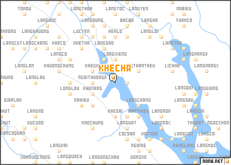
Khê Cha (Vietnam)Khê Cha is a town in Vietnam. An overview map of the region around Khê Cha is displayed below.
regional and 3d topo map of Khê Cha, Vietnam ::
Khê Cha airports ::
The nearest airport is HAN - Hanoi Noibai Intl, located 141.7 km south east of Khê Cha.
Nearby towns ::
Làng Cát (1) (1.7km east) //
Khâm Kìa (2.5km north west) //
Làng Thường (1) (3.4km west) //
Ngòi Thuồng (1) (3.4km west) //
Làng Xiêng (3.7km north) //
Khê Cáng (3.9km south west) //
Khê Nang (3.9km south west) //
Khê Già (3.9km north west) //
Làng Thâm Thêu (3.9km north east) //
Làng Nờng (4.1km north west) //
Khê Kữm (4.1km north west) //
Làng Ha (4.1km north west) //
Làng Chắng (5.1km south east) //
Khê Kiêng (5.1km south west) //
Khê Sài (5.6km south) //
Làng Quả (5.8km south) //
Làng São (5.8km north) //
Vạn Thiều (6.5km south east) //
Làng Hộc (1) (6.5km south east) //
Nà Hiếu (6.3km south west) //
Làng Chúc (6.9km west) //
Hen Lò (7.4km north) //
Làng Ðát (7.6km south) //
Long Lâu (7.1km west) //
Ðào Lâm (7.6km north) //
Dồng Banh (7.6km north) //
Khe Tha (7.6km north west) //
Khê Chung (8.2km south west) //
Luc An Châu (8.2km north west) //
[all distances 'as the bird flies' and approximate] 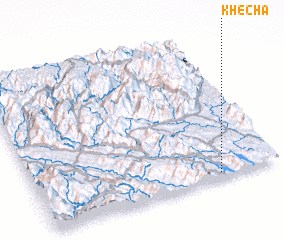 Places with similar names to Khê Cha, Vietnam ::
Disclaimer :: Information on this page comes without warranty of any kind |
||
|
Where is Khê Cha? Elevation and coordinates ::
Latitude (lat): 22°2'0"N Longitude (lon): 104°45'0"E
Elevation (approx.): 63m (map arrows pan, magnifying glasses zoom) |
||
|
Visiting Khê Cha? Hotel/Accommodation ::
Book a hotel in Khê Cha Travel Guide ::
Buy a travel guide for Vietnam rental cars ::
car rental offers GPS waypoint ::
download a GPX waypoint (PoI) of Khê Cha for your GPS receiver
|
||