|
search place name
|
||
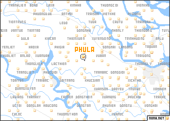
Phú La (Hải Phòng, Vietnam)Phú La is a town in the Hải Phòng region of Vietnam. An overview map of the region around Phú La is displayed below.
regional and 3d topo map of Phú La, Vietnam ::
Phú La airports ::
The nearest airport is HAN - Hanoi Noibai Intl, located 85.8 km north west of Phú La.
Other airports nearby include NNG - Nanning Wuxu (254.3 km north east), Nearby towns ::
Kim Áng (1.9km south) //
Dưỡng Phú (1.9km north) //
Ðình Ngọ (1.7km east) //
Hạ Ðỗ (1.7km east) //
Dĩnh Giang (1.7km west) //
Lien Dinh (3.0km south) //
Hoàng Xá (3.5km west) //
Tỉnh Thủy (3.7km south) //
Vụ Bản (3.5km east) //
Hà Liên (3.5km east) //
An Phú (3.7km north) //
Khè Phương (3.9km north west) //
Cẩm La (3.9km north west) //
Do Nha (3.9km north east) //
Thien Xuan (4.1km north west) //
Ðông Gia (4.0km west) //
Kinh Giao (4.2km north east) //
Quynh Hoang (4.9km east) //
Ðồng Lâu (5.1km south east) //
Trạm Bạc (5.1km south east) //
Hải Ninh (5.1km north west) //
Xuyên Ðông (5.1km north east) //
Tiên Nong (5.1km north east) //
Dồng Nhu (5.6km north) //
Lạc Thiện (5.5km west) //
Song Mai (5.5km east) //
Phì Già (5.5km west) //
Hòn Chu (5.8km south) //
Chi Lai (5.8km south) //
[all distances 'as the bird flies' and approximate] 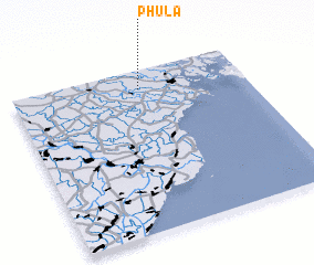 Places with similar names to Phú La, Vietnam ::
Disclaimer :: Information on this page comes without warranty of any kind |
||
|
Where is Phú La? Elevation and coordinates ::
Latitude (lat): 20°53'0"N Longitude (lon): 106°33'0"E
Elevation (approx.): 6m (map arrows pan, magnifying glasses zoom) |
||
|
Visiting Phú La? Hotel/Accommodation ::
Book a hotel in Phú La Travel Guide ::
Buy a travel guide for Vietnam rental cars ::
car rental offers GPS waypoint ::
download a GPX waypoint (PoI) of Phú La for your GPS receiver
|
||