|
search place name
|
||
Al Ḩadīd (Yemen)Al Ḩadīd is a town in Yemen. An overview map of the region around Al Ḩadīd is displayed below.
regional and 3d topo map of Al Ḩadīd, Yemen ::
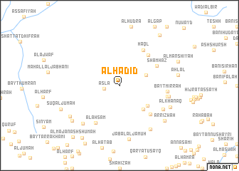
Nearby towns ::
Aslā‘ (2.4km west) //
Ghawl aş Şarrāq (4.4km east) //
Bayt aḑ Ḑabyānī (5.2km south east) //
Al Masāwir (5.3km south east) //
Bayt as Subā‘ī (6.4km north east) //
Shamḩaz (6.4km north east) //
Maḩall al ‘Irq (6.5km south east) //
Ḩaql (6.6km north east) //
Al Aḩsām (6.9km south west) //
Bayt Mirrah (7.3km east) //
Al Ḩarf (7.5km east) //
Thawbar (7.6km south east) //
Al Qurayyah (7.8km east) //
Bayt al Umaysī (8.2km south west) //
Banī Haysān (8.3km south east) //
Jabal al Jamūḩ (8.5km south) //
Al Khanaq (8.5km south east) //
Ar Rizwah (8.8km south east) //
Ḑulaym (8.9km south west) //
Ta‘izz (9.1km south west) //
Al Jiyāʼ (9.9km north east) //
Şā‘ah (10.0km south west) //
Al Majan ash Shumah (10.7km south west) //
[all distances 'as the bird flies' and approximate] 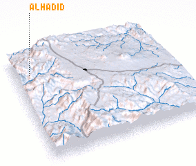 Places with similar names to Al Ḩadīd, Yemen ::
// Al Ḩudayd (IQ)
// Al Ḩaddād (EG)
// Al Ḩaddādī (EG)
// Al Ḩudūd (EG)
// Al Ḩaddādah (TN)
// Al Hedet (TD)
// Al Ḩaddādah (SA)
// Al Ḩudayd (SD)
// Al Ḩaddādah (JO)
// Al Ḩidādah (SY)
Disclaimer :: Information on this page comes without warranty of any kind |
||
|
Where is Al Ḩadīd? Elevation and coordinates ::
Latitude (lat): 14°50'0"N Longitude (lon): 44°6'0"E
Elevation (approx.): 2302m (map arrows pan, magnifying glasses zoom) |
||
|
Visiting Al Ḩadīd? Hotel/Accommodation ::
Book a hotel in Al Ḩadīd Travel Guide ::
Buy a travel guide for Yemen rental cars ::
car rental offers GPS waypoint ::
download a GPX waypoint (PoI) of Al Ḩadīd for your GPS receiver
|
||