|
search place name
|
||
Monte Alegre (Rio Grande do Norte, Brazil)Monte Alegre is a town in the Rio Grande do Norte region of Brazil. An overview map of the region around Monte Alegre is displayed below.
regional and 3d topo map of Monte Alegre, Brazil ::

Monte Alegre airports ::
The nearest airport is NAT - Natal Augusto Severo, located 163.6 km south east of Monte Alegre.
Nearby towns ::
Bela Vista (2.6km south east) //
São Francisco (2.7km north) //
Bonfim (4.8km south) //
Boi Velho (4.9km east) //
Quixaba da Cobranca (5.2km north) //
Barreiros (6.5km north) //
Varjota (6.5km east) //
Cacimba da Baixa (7.2km north) //
São Luís (8.0km south west) //
Diogo Lopes (8.7km north east) //
São José (9.2km south west) //
Santo Isidro (11.5km south east) //
[all distances 'as the bird flies' and approximate] 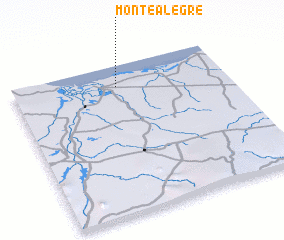 Places with similar names to Monte Alegre, Brazil ::
// Montalegre (PT)
// Monte Alegre (PT)
// Monte Alegre (PT)
// Monte Alegre (CU)
// Montealegre (ES)
// Montealegre (ES)
// Môndól Kiri (KH)
// Monte Alegre (CO)
// Montealegre (CO)
// Māndalgarh (IN)
Disclaimer :: Information on this page comes without warranty of any kind |
||
|
Where is Monte Alegre? Elevation and coordinates ::
Latitude (lat): 5°8'27"S Longitude (lon): 36°30'31"W
Elevation (approx.): 19m (map arrows pan, magnifying glasses zoom) |
||
|
Visiting Monte Alegre? Hotel/Accommodation ::
Book a hotel in Monte Alegre Travel Guide ::
Buy a travel guide for Brazil rental cars ::
car rental offers GPS waypoint ::
download a GPX waypoint (PoI) of Monte Alegre for your GPS receiver
|
||