|
search place name
|
||
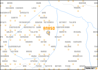
Ānaso (Ethiopia)Ānaso is a town in Ethiopia. An overview map of the region around Ānaso is displayed below.
regional and 3d topo map of Ānaso, Ethiopia ::
Ānaso airports ::
The nearest airport is ADD - Addis Ababa Bole Intl, located 104.8 km south of Ānaso.
Other airports nearby include BJR - Bahar Dar Bahir Dar (238.0 km north west), Nearby towns ::
Gīmbīcho (0.0km north) //
Boneya Bokʼo (2.6km north west) //
Gora Ānda (2.6km north west) //
Gololē (2.6km south west) //
Īlamu (3.7km north) //
Kete Gara (3.7km north) //
Gurj (3.7km south) //
Hāmus Gebeya (3.7km west) //
Kʼurkʼura (3.7km west) //
Gode Bokʼota (4.1km south east) //
Āchʼlatʼ (4.1km south east) //
Duba (4.1km north west) //
Weyba (4.1km south west) //
Āwasī (4.1km south west) //
Ārojī (4.1km south west) //
Godēsa (5.2km north west) //
Tulu Yaʼī (5.5km west) //
Boneya (5.5km east) //
Tulu Ofa (5.5km east) //
Dirē Hābī (5.6km north) //
Sheferē Āmba (5.8km east) //
Hāro (5.9km south) //
Āgemsa (5.9km north) //
Wejītu (6.6km north west) //
Kʼetʼanīt (6.6km north east) //
Tulu Nano (7.3km west) //
Sego (7.4km south) //
Sebro (7.4km south) //
Dirē (7.6km north) //
[all distances 'as the bird flies' and approximate] 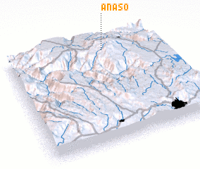 Places with similar names to Ānaso, Ethiopia ::
Disclaimer :: Information on this page comes without warranty of any kind |
||
|
Where is Ānaso? Elevation and coordinates ::
Latitude (lat): 9°55'0"N Longitude (lon): 38°40'0"E
Elevation (approx.): 1866m (map arrows pan, magnifying glasses zoom) |
||
|
Visiting Ānaso? Hotel/Accommodation ::
Book a hotel in Ānaso Travel Guide ::
Buy a travel guide for Ethiopia rental cars ::
car rental offers GPS waypoint ::
download a GPX waypoint (PoI) of Ānaso for your GPS receiver
|
||