|
search place name
|
||
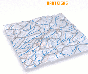
Manteigas (Guarda, Portugal)Manteigas is a town in the Guarda region of Portugal. An overview map of the region around Manteigas is displayed below.
regional and 3d topo map of Manteigas, Portugal ::

Manteigas airports ::
The nearest airport is VRL - Vila Real, located 98.4 km north of Manteigas.
Other airports nearby include OPO - Porto (135.1 km north west), BGC - Braganca (176.1 km north east), BJZ - Badajoz Talavera La Real (178.3 km south), VGO - Vigo (223.1 km north west), Nearby towns ::
 Places with similar names to Manteigas, Portugal ::
// Mendigos (PT)
// Moniatycze (PL)
// Mandagas (LV)
// Manatikosy (MG)
// Minnetex (US)
// Mandiquice (MZ)
// Monteux (FR)
// Monteaux (FR)
// Manducas (BR)
// Mandaix (FR)
Disclaimer :: Information on this page comes without warranty of any kind |
||
|
Where is Manteigas? Elevation and coordinates ::
Latitude (lat): 40°24'0"N Longitude (lon): 7°32'0"W
Elevation (approx.): 687m (map arrows pan, magnifying glasses zoom) |
||
|
Visiting Manteigas? Hotel/Accommodation ::
Book a hotel in Manteigas Travel Guide ::
Buy a travel guide for Portugal rental cars ::
car rental offers GPS waypoint ::
download a GPX waypoint (PoI) of Manteigas for your GPS receiver
|
||