|
search place name
|
||
Porto Pi (Islas Baleares, Spain)Porto Pi is a town in the Islas Baleares region of Spain. An overview map of the region around Porto Pi is displayed below.
regional and 3d topo map of Porto Pi, Spain ::

Porto Pi airports ::
The nearest airport is TOJ - Madrid Torrejon, located 126.7 km north west of Porto Pi.
Other airports nearby include MAD - Madrid Barajas (132.5 km north west), MJV - Murcia San Javier (252.0 km south east), Nearby towns ::
Rada de Haro (1.9km north) //
Villaescusa de Haro (7.0km north west) //
[all distances 'as the bird flies' and approximate] 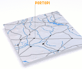 Places with similar names to Porto Pi, Spain ::
// Prūdupė (LT)
// Pirdop (BG)
// Pratāp (BD)
// Poruitpa (CO)
// Parai-tepuí (VE)
// Paraytepuy (VE)
// Praitepuy (VE)
// Piratop (PG)
Disclaimer :: Information on this page comes without warranty of any kind |
||
|
Where is Porto Pi? Elevation and coordinates ::
Latitude (lat): 39°33'0"N Longitude (lon): 2°37'0"W
Elevation (approx.): 819m (map arrows pan, magnifying glasses zoom) |
||
|
Visiting Porto Pi? Hotel/Accommodation ::
Book a hotel in Porto Pi Travel Guide ::
Buy a travel guide for Spain rental cars ::
car rental offers GPS waypoint ::
download a GPX waypoint (PoI) of Porto Pi for your GPS receiver
|
||