|
search place name
|
||
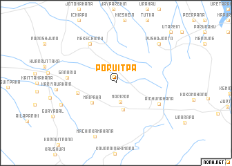
Poruitpa (La Guajira, Colombia)Poruitpa is a town in the La Guajira region of Colombia. An overview map of the region around Poruitpa is displayed below.
regional and 3d topo map of Poruitpa, Colombia ::
Poruitpa airports ::
The nearest airport is RCH - Rio Hacha Almirante Padilla, located 119.5 km south west of Poruitpa.
Other airports nearby include MAR - Maracaibo La Chinita Intl (158.4 km south), LSP - Paraguana Josefa Camejo (194.9 km east), AUA - Oranjestad Reina Beatrix Intl (216.2 km east), VUP - Valledupar Alfonso Lopez Pumarejo (223.3 km south west), Nearby towns ::
Marírop (3.1km south) //
Mánnapana (4.5km south) //
Maípaha (5.0km south west) //
Kamúchisain (6.3km west) //
Mekéchirru (7.5km north west) //
Aichumahana (7.6km south east) //
Sanariö (7.7km west) //
Machinkamahana (9.3km south) //
Pushöjanta (9.3km north east) //
Atájapo (9.3km north east) //
Chumáhana (9.3km west) //
Útarein (11.9km north east) //
[all distances 'as the bird flies' and approximate] 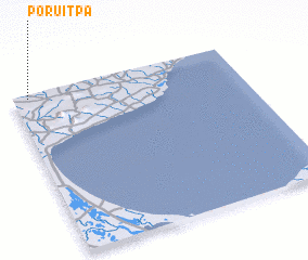 Places with similar names to Poruitpa, Colombia ::
// Prūdupė (LT)
// Pirdop (BG)
// Porto Pi (ES)
// Pratāp (BD)
// Parai-tepuí (VE)
// Paraytepuy (VE)
// Praitepuy (VE)
// Piratop (PG)
Disclaimer :: Information on this page comes without warranty of any kind |
||
|
Where is Poruitpa? Elevation and coordinates ::
Latitude (lat): 11°58'34"N Longitude (lon): 71°55'46"W
Elevation (approx.): 70m (map arrows pan, magnifying glasses zoom) |
||
|
Visiting Poruitpa? Hotel/Accommodation ::
Book a hotel in Poruitpa Travel Guide ::
Buy a travel guide for Colombia rental cars ::
car rental offers GPS waypoint ::
download a GPX waypoint (PoI) of Poruitpa for your GPS receiver
|
||