|
search place name
|
||
Prūdupė (Lithuania)Prūdupė is a town in Lithuania. An overview map of the region around Prūdupė is displayed below.
regional and 3d topo map of Prūdupė, Lithuania ::

Nearby towns ::
Krankaļi (3.7km north) //
Armonys (5.7km south) //
Gaidžgalė (4.1km west) //
Zemgaļi (7.5km north) //
Kozuļi (7.5km north) //
Aknīste (5.5km north east) //
Juodupė (6.9km south west) //
Butķēni (6.9km south east) //
Sodeliai (8.5km south west) //
Apserdi (8.5km north west) //
Mežaraupi (8.5km north east) //
[all distances 'as the bird flies' and approximate] 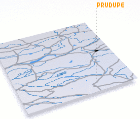 Places with similar names to Prūdupė, Lithuania ::
// Pirdop (BG)
// Porto Pi (ES)
// Pratāp (BD)
// Poruitpa (CO)
// Parai-tepuí (VE)
// Paraytepuy (VE)
// Praitepuy (VE)
// Piratop (PG)
Disclaimer :: Information on this page comes without warranty of any kind |
||
|
Where is Prūdupė? Elevation and coordinates ::
Latitude (lat): 56°8'0"N Longitude (lon): 25°41'0"E
Elevation (approx.): 106m (map arrows pan, magnifying glasses zoom) |
||
|
Visiting Prūdupė? Hotel/Accommodation ::
Book a hotel in Prūdupė Travel Guide ::
Buy a travel guide for Lithuania rental cars ::
car rental offers GPS waypoint ::
download a GPX waypoint (PoI) of Prūdupė for your GPS receiver
|
||