|
search place name
|
||
Sra Diop (Sông Bé, Vietnam)Sra Diop is a town in the Sông Bé region of Vietnam. An overview map of the region around Sra Diop is displayed below.
regional and 3d topo map of Sra Diop, Vietnam ::

Sra Diop airports ::
The nearest airport is SGN - Ho Chi Minh City Tansonnhat Intl, located 64.1 km south of Sra Diop.
Other airports nearby include PNH - Phnom-penh Phnom Penh Intl (212.4 km west), Nearby towns ::
Phước Sang (2) (1.9km south) //
Ca Ma (1) (1.8km east) //
Xóm Lô (3.7km north) //
Ấp Hồ Ðá (4.1km south west) //
Tà Nhum (4.1km north east) //
Ấp Phồm Mít (5.5km west) //
Xã Mách (5.8km south) //
An Bình (5.8km east) //
Ấp Ruộng (7.5km west) //
Ấp Bái Yến (7.5km west) //
Ấp Ba Băng (8.2km south west) //
Quận Phú Giáo (8.3km south east) //
An Linh (9.2km south west) //
Nước Vàng (9.2km south east) //
Bà Chân (1) (10.4km south west) //
Ca Sac (10.4km south west) //
Sư My (10.4km south east) //
[all distances 'as the bird flies' and approximate] 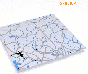 Places with similar names to Sra Diop, Vietnam ::
// Surdup (BA)
// Sarıtepe (TR)
// Şārī Tappah (IQ)
// Sarytepa (UZ)
// Saurtepa (UZ)
// Zortepa (UZ)
// Sarydepe (TM)
// Sārī Tappeh (IR)
// Sārī Tappeh (IR)
// Sar Tāp (IR)
Disclaimer :: Information on this page comes without warranty of any kind |
||
|
Where is Sra Diop? Elevation and coordinates ::
Latitude (lat): 11°23'0"N Longitude (lon): 106°47'0"E
Elevation (approx.): 60m (map arrows pan, magnifying glasses zoom) |
||
|
Visiting Sra Diop? Hotel/Accommodation ::
Book a hotel in Sra Diop Travel Guide ::
Buy a travel guide for Vietnam rental cars ::
car rental offers GPS waypoint ::
download a GPX waypoint (PoI) of Sra Diop for your GPS receiver
|
||