|
search place name
|
||
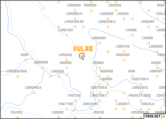
Vũ Lao (Thanh Hóa, Vietnam)Vũ Lao is a town in the Thanh Hóa region of Vietnam. An overview map of the region around Vũ Lao is displayed below.
regional and 3d topo map of Vũ Lao, Vietnam ::
Vũ Lao airports ::
The nearest airport is HAN - Hanoi Noibai Intl, located 111.7 km north east of Vũ Lao.
Nearby towns ::
Làng Coc (1.9km north) //
Làng Ðuc (3.5km west) //
Xóm Ngô (3.9km south west) //
Xóm Ba (2) (3.9km south east) //
Phú Nghiêm (4.8km south west) //
Làng Bà Bá (5.1km south east) //
Làng Mươi (5.1km north east) //
Làng Diêu (5.5km east) //
Ngoại Sa (6.4km south east) //
Làng Chiên (2) (6.4km south east) //
Làng Goi (6.4km south west) //
Lũng Tiềm (6.6km north west) //
La Hán (6.6km south east) //
Làng Cánh Nàn (6.6km south east) //
Làng Cào (7.4km north) //
Làng Chiên (1) (7.6km north) //
Làng Cã (7.6km south) //
Xóm Mân (7.6km south east) //
Hồi Xuân (7.9km south west) //
Xóm Trang (8.2km south east) //
Lâm Sa (9.1km south east) //
Làng Chiêu (9.1km north east) //
Làng Bang (9.1km north west) //
[all distances 'as the bird flies' and approximate] 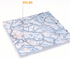 Places with similar names to Vũ Lao, Vietnam ::
Disclaimer :: Information on this page comes without warranty of any kind |
||
|
Where is Vũ Lao? Elevation and coordinates ::
Latitude (lat): 20°24'0"N Longitude (lon): 105°11'0"E
Elevation (approx.): 385m (map arrows pan, magnifying glasses zoom) |
||
|
Visiting Vũ Lao? Hotel/Accommodation ::
Book a hotel in Vũ Lao Travel Guide ::
Buy a travel guide for Vietnam rental cars ::
car rental offers GPS waypoint ::
download a GPX waypoint (PoI) of Vũ Lao for your GPS receiver
|
||