|
search place name
|
||
San Mateo (Ilocos Norte, Philippines)San Mateo is a town in the Ilocos Norte region of Philippines. An overview map of the region around San Mateo is displayed below.
regional and 3d topo map of San Mateo, Philippines ::

San Mateo airports ::
The nearest airport is BAG - Baguio, located 199.4 km south of San Mateo.
Nearby towns ::
Lataag (0.8km north) //
Santa Rita (0.8km north) //
San Roque (1.1km south) //
San Antonio (1.8km south west) //
Mabisbis (2.2km east) //
San Andres (2.3km south east) //
Binaratan (2.3km south east) //
Sarrat (2.4km south east) //
Lagui (2.6km north) //
San Manuel (2.9km south) //
San Felipe (2.9km south) //
San Isidro (2.9km south) //
San Moises (2.9km south) //
San Cristobal (2.9km south) //
Santo Tomas (2.9km south) //
San Juan (2.9km south) //
San Francisco (2.9km south) //
Santa Magdalena (2.9km south) //
San Nicolas (2.9km south) //
Baldias (3.0km north west) //
Taguipuro (3.3km south west) //
Barabay (3.3km south west) //
Bannua (3.3km north east) //
Lusong (3.3km west) //
Barabar (3.5km south) //
Malingeb (3.4km west) //
Bacsil (3.5km north east) //
San Jose (3.6km south east) //
San Nicolas (3.7km west) //
[all distances 'as the bird flies' and approximate] 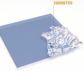 Places with similar names to San Mateo, Philippines ::
// San Emidio (US)
// San Mateo (US)
// Sunnymead (US)
// San Mateo (US)
// San Mateo (US)
// Sunnymeadow (US)
// Sunnymede (US)
// San Mateo (PA)
// San Mateo (CU)
// San Mateo (CU)
Disclaimer :: Information on this page comes without warranty of any kind |
||
|
Where is San Mateo? Elevation and coordinates ::
Latitude (lat): 18°10'35"N Longitude (lon): 120°37'50"E
Elevation (approx.): 21m (map arrows pan, magnifying glasses zoom) |
||
|
Visiting San Mateo? Hotel/Accommodation ::
Book a hotel in San Mateo Travel Guide ::
Buy a travel guide for Philippines rental cars ::
car rental offers GPS waypoint ::
download a GPX waypoint (PoI) of San Mateo for your GPS receiver
|
||