|
search place name
|
||
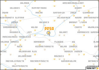
Prša (Slovakia)Prša is a town in Slovakia. An overview map of the region around Prša is displayed below.
regional and 3d topo map of Prša, Slovakia ::
Prša airports ::
The nearest airport is SLD - Sliac, located 61.9 km north west of Prša.
Other airports nearby include TAT - Poprad Tatry (92.0 km north), BUD - Budapest Ferihegy (104.2 km south west), KSC - Kosice (113.9 km east), PZY - Piestany (150.2 km west), Nearby towns ::
Horné Kurtʼany (0.0km north) //
Buzica (0.0km north) //
Dolné Kurťany (1.9km south) //
Nový Sad (1.9km north) //
Fiľakovské Kováče (1.2km west) //
Nitra nad Ipľom (2.2km north west) //
Šávolʼ (2.5km east) //
Boľkovce (3.9km north) //
Fiľakovo (4.5km south east) //
Horné Baby (4.5km south west) //
Fiľakovské Kľačany (3.7km west) //
Bulhary (3.7km east) //
Közép Rátka Pusta (5.7km south) //
Holiša (4.1km north west) //
Dóla Pusta (5.7km north) //
Lazy (4.9km west) //
Belina (6.7km south east) //
Veľké Dravce (6.7km north east) //
Sväté Kríže (7.8km north) //
Pinciná (7.8km north) //
Pleš (8.3km south west) //
Monosza (8.9km south east) //
[all distances 'as the bird flies' and approximate] 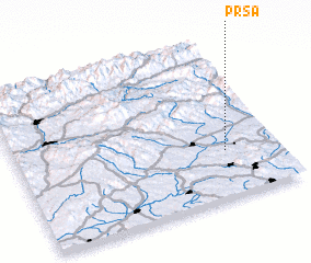 Places with similar names to Prša, Slovakia ::
Disclaimer :: Information on this page comes without warranty of any kind |
||
|
Where is Prša? Elevation and coordinates ::
Latitude (lat): 48°18'0"N Longitude (lon): 19°48'0"E
Elevation (approx.): 178m (map arrows pan, magnifying glasses zoom) |
||
|
Visiting Prša? Hotel/Accommodation ::
Book a hotel in Prša Travel Guide ::
Buy a travel guide for Slovakia rental cars ::
car rental offers GPS waypoint ::
download a GPX waypoint (PoI) of Prša for your GPS receiver
|
||