|
search place name
|
||
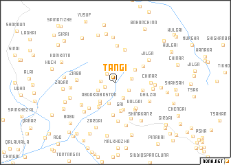
Tangi (Balochistān, Pakistan)Tangi is a town in the Balochistān region of Pakistan. An overview map of the region around Tangi is displayed below.
regional and 3d topo map of Tangi, Pakistan ::
Tangi airports ::
The nearest airport is UET - Quetta, located 87.1 km south west of Tangi.
Other airports nearby include KDH - Kandahar (164.1 km north west), Nearby towns ::
Potai (1.7km south west) //
Nāsir (1.9km north west) //
Ghāzi Nau (2.1km west) //
Shāhgai (2.3km south east) //
Tor (2.4km east) //
Aghbargai (2.7km south east) //
Mard Gul (2.8km south west) //
Niko (3.5km south) //
Zakaria (3.4km north east) //
Abdakai Bostān (3.7km south west) //
Kachai (4.1km south west) //
Nau (4.5km south) //
Ziāba (4.0km east) //
Gai (4.7km south) //
Gulwandai (4.6km south west) //
Bāz (4.7km north east) //
Shāhai (5.3km south) //
Walgai (5.1km south east) //
Walgai (5.1km south east) //
Sagai (5.5km north) //
Chīnar (5.0km east) //
Tangai (5.9km north) //
Abkakai Daūd (5.6km south west) //
Ahmad (5.3km east) //
Ziāba (5.4km west) //
Ghilzai (5.6km south east) //
Tikhai (6.4km south) //
Dāru (6.3km south) //
Pahalwān (5.5km east) //
[all distances 'as the bird flies' and approximate] 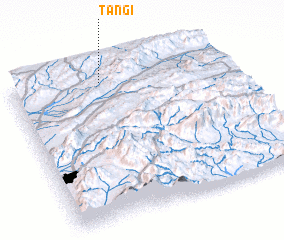 Places with similar names to Tangi, Pakistan ::
Disclaimer :: Information on this page comes without warranty of any kind |
||
|
Where is Tangi? Elevation and coordinates ::
Latitude (lat): 30°54'51"N Longitude (lon): 67°25'33"E
Elevation (approx.): 2148m (map arrows pan, magnifying glasses zoom) |
||
|
Visiting Tangi? Hotel/Accommodation ::
Book a hotel in Tangi Travel Guide ::
Buy a travel guide for Pakistan rental cars ::
car rental offers GPS waypoint ::
download a GPX waypoint (PoI) of Tangi for your GPS receiver
|
||